Use case 01
Find areas worth inspecting
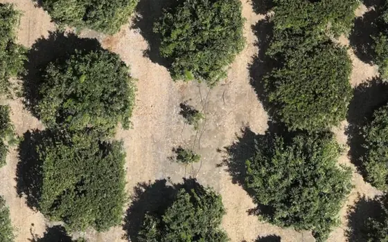
- Drone survey
- Vegetation difference
- Inspection coordinates
- PCA or agronomist ground check
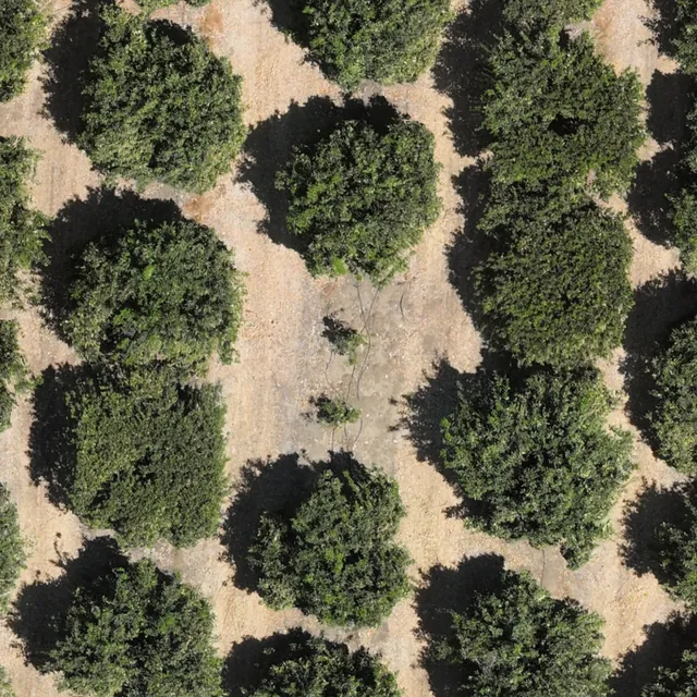
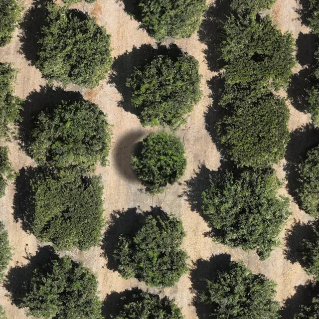
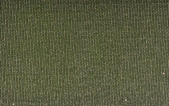
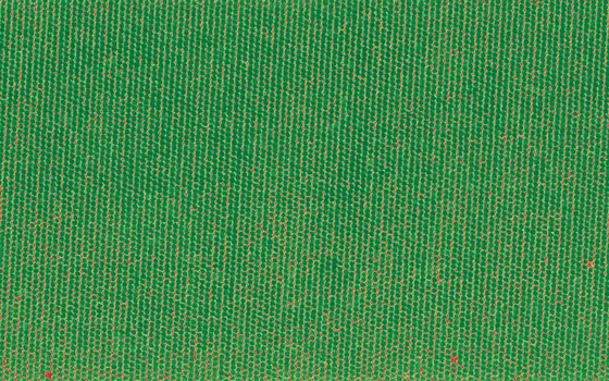
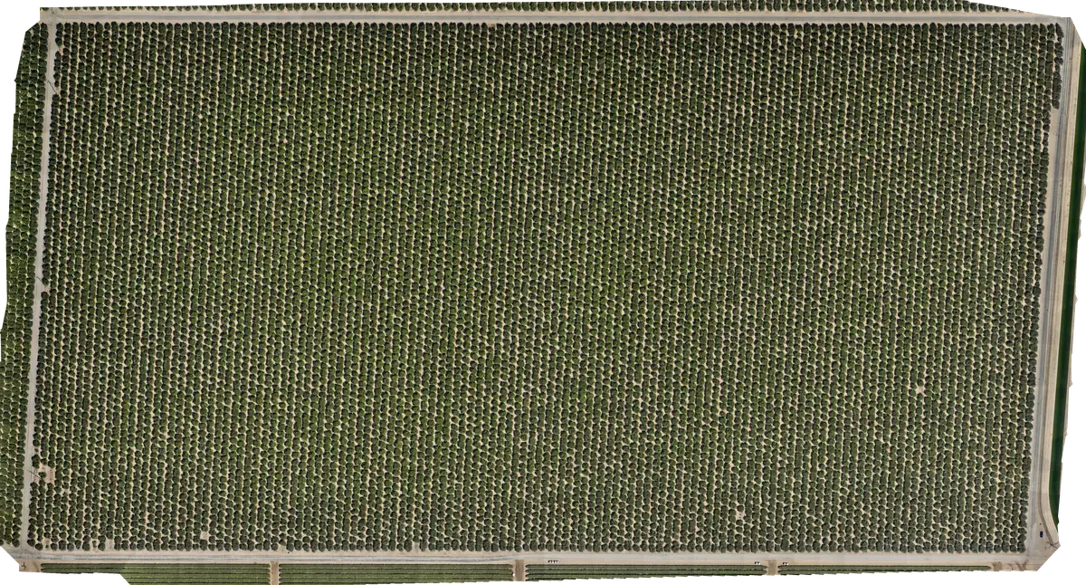
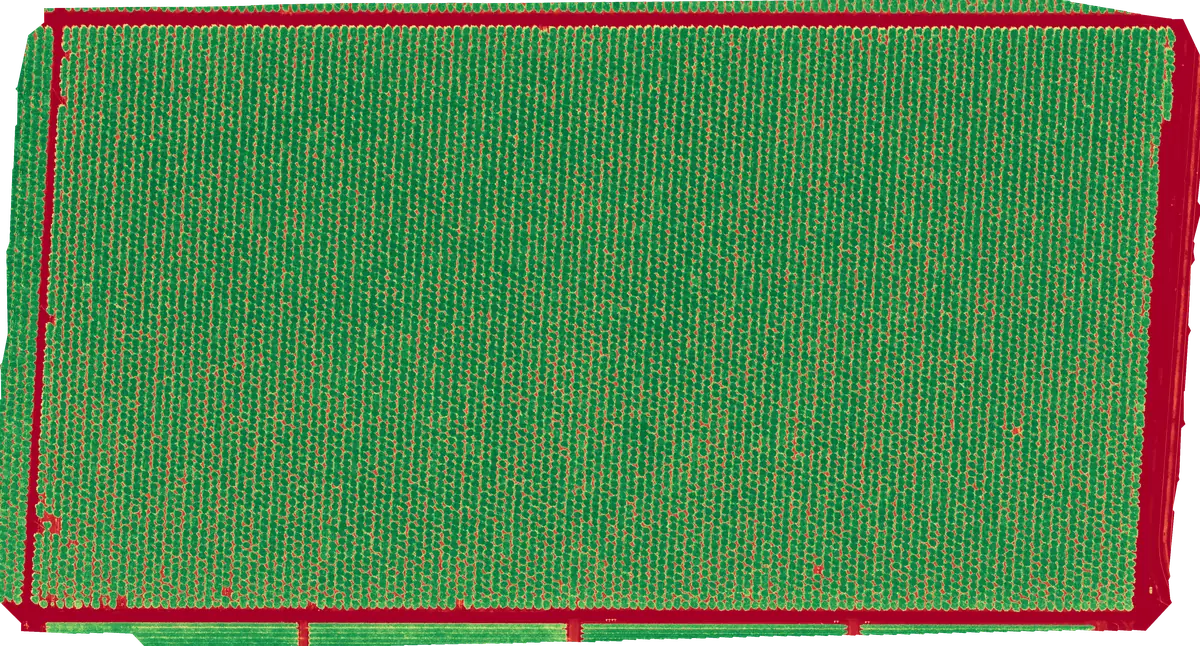
An area can look different on the NDVI map. We mark it and give you its coordinates. A specialist checks it on the ground and determines the cause. The map shows where to look — not why.
 01 02 03 04